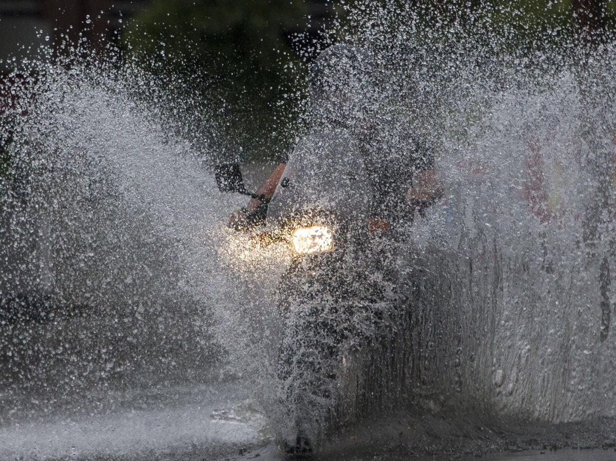
Flooding a threat as thunderstorms expected to pound Charleston for the next week

It’s July in Charleston. Anyone who’s lived here a while knows the forecast for the month — hot and thunderstorms.
But not a “gaggleplex of clouds.”
That’s how Mark Malsick, the S.C. Climate Office severe weather liaison, described what’s going on overhead right now.
Persistent, severe storms have been pounding the South Carolina coast all week, with lightning knocking out power and rain flooding low-lying streets. Worse, the pounding is expected to last at least another week.
The National Weather Service’s hazardous weather outlook Thursday laid it out: Slow moving thunderstorms will develop “and repeatedly pass over the same areas, resulting in localized areas of heavy rainfall. Flooding of low-lying or poor drainage areas will be possible.”
The coast is caught between “warm, humid air to the north, and very warm, very humid air to the south,” said Carl Barnes, a Weather Service meteorologist in the Charleston office.
The air to the south eventually will push out the air to the north, but then we’re left with very warm, very humid air that’s prime conditions for the storms, he said.
It guarantees periods of heavy rain, Malsick said.
And there may be more turbulence spinning offshore.
“With our waters being very warm, we will be watching for anything (such as a tropical storm) to spin up over the ocean,” said Shea Gibson, a Charleston-based meteorologist with the forecasting company WeatherFlow.
The usual chance of thunderstorms this time of year is between 30 and 40 percent and scattered, Barnes said. Friday it will be 70 percent.
Sunday and Monday it will be 50 to 60 percent. The rain is not necessarily going to be a constant thing, he said, but it will be widespread at times.
The skies will keep at it at least until the middle of next week, Barnes said. He echoed the potential for flooding, particularly if rain gets heavy during afternoon high tides.
He urged motorists to slow down and to not drive through flooded streets or around barricades.
Charleston has taken recent steps to address some of the problematic flooding at key downtown intersections through the use of newly installed check valves in several drainage lines that serve some of the city’s lowest-lying spots.
They have generally been positively received for working to keep the areas dry, including at severe high tides.
Barre and Wentworth streets, Wentworth and Gadsden streets, Water Street, and the intersections around Cannon Park and Morrison Drive are among the active sites.
