Sea Level Change

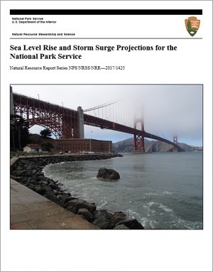
Approximately one-fourth of all National Park Service (NPS) sites are situated on or near the coast. These parks protect a diverse array of ecosystems, historic sites, recreational areas, and infrastructure. From the submerged reefs of Biscayne National Park to the elevated span of the Golden Gate Bridge, coastal parks are experiencing effects from sea level rise. This new report provides data regarding the possible extent of sea level change for coastal parks in the future.
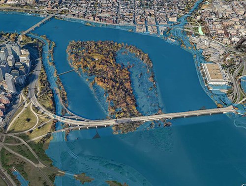
In Sea Level Rise and Storm Surge Projections for the National Park Service, report authors analyzed and downscaled datasets from NOAA and the IPCC relative to national park units. The results illustrate the potential for permanent coastal inundation and flooding due to sea level rise and storm surge under varying greenhouse gas emissions scenarios. Results of the analysis were used to create a suite of storm surge maps for each site included in the study.
It is important to note that coastal areas will experience sea level change differently, owing to the variable nature of ocean currents, topography of the coast, and the influence of localized changes in land elevation. The coastline near Jean Lafitte National Historical Park and Preserve, for example, is likely to experience faster rates of relative sea level rise due to high rates of subsidence. Conversely, most Alaskan parks are expected to see continued falling of relative sea level as the post-glacial land mass rebounds from the loss of heavy, land-based ice. These examples illustrate the need for more detailed analysis of local conditions that might influence the potential effects from sea level rise and storm surge. The data from this report provide a high-level overview to help the National Park Service identify those priority areas where such site-specific information may be necessary.

Results suggest the parks in the Outer Banks of North Carolina are poised to experience the greatest amount of sea level rise over the next century. Meanwhile, all coastal parks will need to contend with both changing sea levels and the intensification of storms and associated storm surge. This is particularly true of parks along the southeast coast, which have historically taken the brunt of tropical storms and hurricanes.
The catastrophic damage wrought by numerous hurricanes such as Sandy (2012), Matthew (2016), and Harvey/Irma/Maria (2017) as well as additional historic coastal storms in the Northeast Atlantic underscores the need to understand the nature of changing conditions along the coast. Taking stock of trends in sea level change is a necessary precursor to identifying future vulnerabilities and managing risk responsibly. When coupled with earlier work examining infrastructure at risk along the coast, the results of this study can help identify vulnerabilities, prioritize management action, and guide public investments in sustainable projects.
Last updated: May 21, 2018
